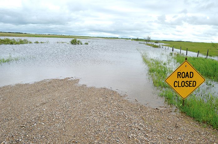
The Water Security Agency (WSA) is advising the public that rainfall forecasted over the next few days has the potential to create localized flooding issues in areas that are wetter than normal or where embedded thunderstorm activity occurs.
A strong low pressure system is expected to bring heavy rainfall across the south west to south central up to the north east areas of the province. Accumulations of 75-100 mm are possible over localized areas where embedded thunderstorms occur.
The rainfall is expected to occur over areas where soil moisture conditions and wetland storage is near normal. Therefore, the landscape has the ability to absorb much of this rainfall. Since rainfall intensities overall are expected to be relatively low, other than where thunderstorm activity occurs, WSA is not expecting a significant streamflow response from this event.
The severe thunderstorm that impacted Estevan yesterday (July 10) was very local to the community. While locations within the community received up to 125 mm, outside of the city at the airport 73 mm was observed and direct precipitation on nearby Boundary Reservoir was approximately 30 mm.
This did not create a significant streamflow response and given the full flood storage is available in Rafferty Reservoir, it is unlikely that any releases would be required as a result of this event. Over the course of Monday and Tuesday, 25-30 mm of rainfall is expected in the Estevan area from the system.
The Qu’Appelle Valley is also not expected to see any significant inflow impact from this storm event but lakes will be subject to direct precipitation. There may be some operations needed at the control structures but levels will be well below the range where flooding would create any damage.


